|
|

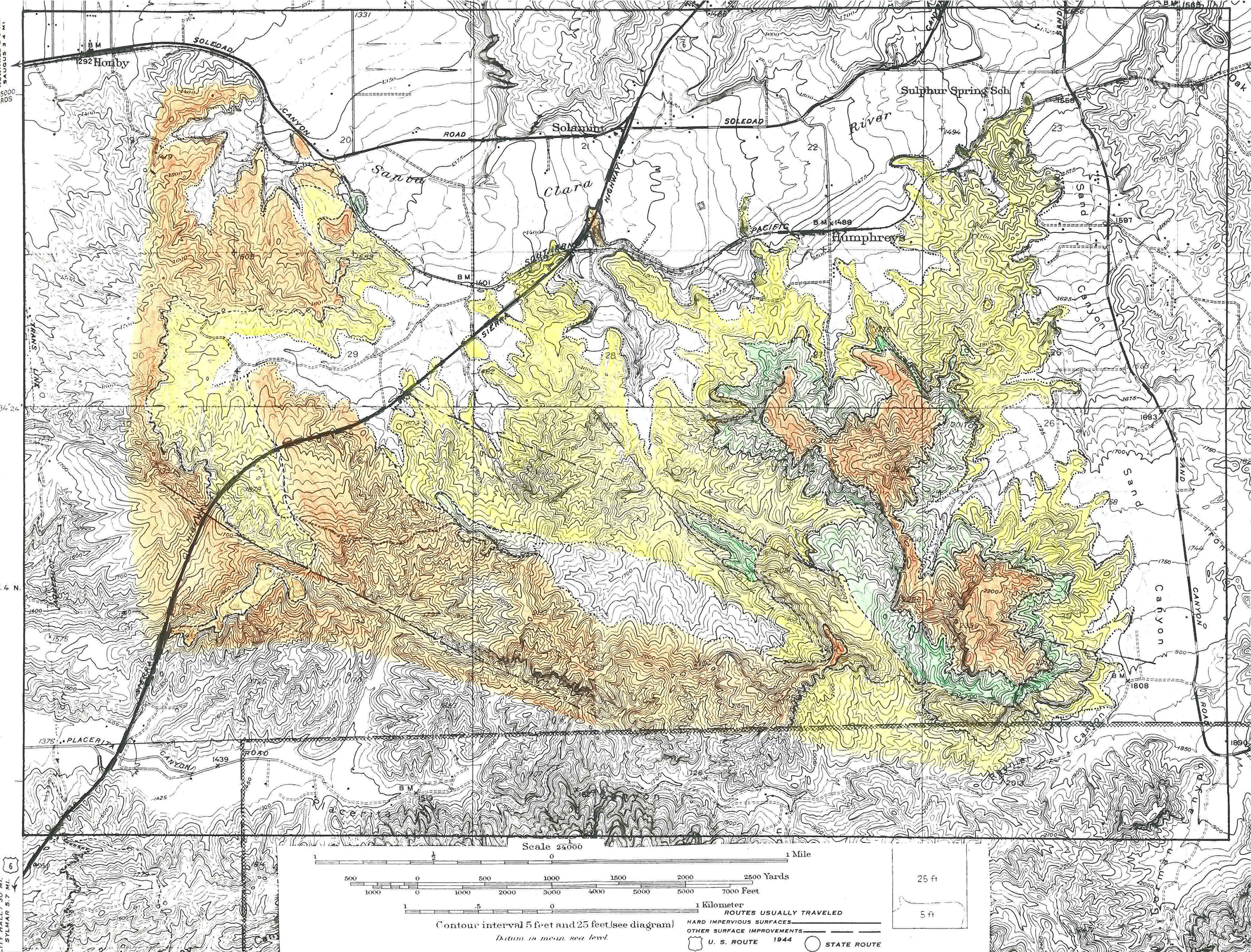
Geology of the Humphreys Station Area.
Master's Thesis (Geology), California Institute of Technology, Pasadena, 1947.
|
Humphrey's Station was located east of Sierra Highway in the current Jake's Way area.
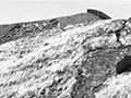
Abstract. Six formations of Tertiary and Quaternary Age are present south of the Santa Clara River in the Easternmost Ventura Basin. The upper Miocene non-marine Mint Canyon formation is successively overlain by the uppermost Miocene marine "Modelo" formation, the lower Pliocene marine Pico formation, the Pliocene-Pleistocene non-marine Saugus formation, and by Pleistocene terrace deposits and Recent alluvium. Angular unconformities characterize most of the boundaries between these formations, but disconformable relationships appear to exist locally. As a result of two or more major periods of deformation, the rocks are highly folded, with broken anticlines and dips that vary from horizontal to vertical. Overturning occurs at least at one place. Compressive stresses from the north appear to have been the most active agents of deformation; but the block-type San Gabriel fault, which runs through the Southern part of the Humphreys Station area, may have had some tilting effect upon the beds throughout this whole region. In general, the structural trend is northwest-southeast. Broad folds in the Mint Canyon formation plunge northwestward at low to moderate angles. Post-Modelo thrusting from the north has developed minor folds on the limbs of the major folds. Superimposed on the highly folded formations are the later formations, themselves slightly folded. As a result of Quaternary erosion, the topography is one of late youth early maturity; with maximum relief in the mapped area of about 1000 feet.
Download pdf here.
|
Geology (Cooksey 1934)
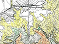
Geology (MacNeill 1947)
Tip's Sierra Highway Menu 1963
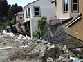
Slippery Princess Homes: Anatomy of a Disaster 1968/69
Beale's Cut Restaurant 1970s
CHiPs 1979
American Beauty Classics Construction 1986
American Beauty Landslides 1987
Cal Islands 1990s
McDonalds Remodel 2019
Trestles Landslide 2019
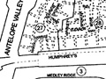
Locator Map
Geology (MacNeill 1947)
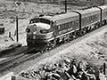
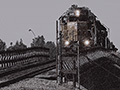
SPRR Owl 1953
Jeff Hosford Story: Saugus Local
|


The site owner makes no assertions as to ownership of any original copyrights to digitized images. However, these images are intended for Personal or Research use only. Any other kind of use, including but not limited to commercial or scholarly publication in any medium or format, public exhibition, or use online or in a web site, may be subject to additional restrictions including but not limited to the copyrights held by parties other than the site owner. USERS ARE SOLELY RESPONSIBLE for determining the existence of such rights and for obtaining any permissions and/or paying associated fees necessary for the proposed use.
