|
|
Angeles National Forest: A Brief Cultural History
USDA Forest Service | (2014)
|
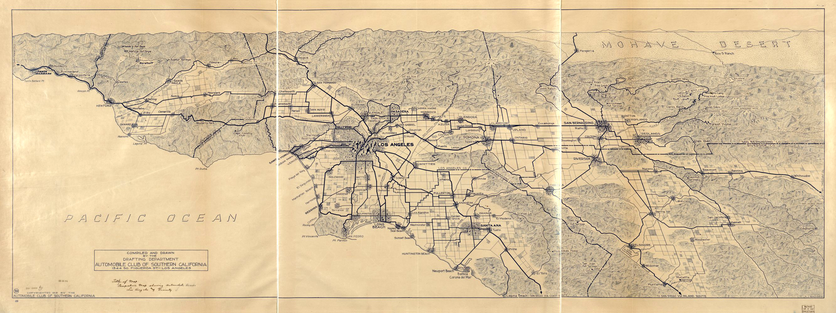
Early Native American cultural sites in the inland mountain regions corresponding with the Angeles National Forest are sparse, Radiocarbon dates of 7675 and 7600 years Before Present (BP), taken from a cooking feature in one of the northern drainages of the San Gabriel Mountains, are the oldest known from the central Transverse Ranges. Early material culture indicates extensive use of grinding implements to process small seeds, supplemented by hunting activities. Numerous cogged stones are also found within sites of this period, indicating ceremonial activities. During the Middle Period (5000 BP to 800 BP), sites generally indicate an increase in population and broadening of the resource base in response to population pressure and resource stress. This period is represented by a large array of specialized subsistence sites, characterized as villages, base camps, food processing and procurement sites, special use sites, rockshelters, pictographs, ovens, and cemeteries. A Late Period (800 BP to AD 1769) proliferation of sites within the Angeles National Forest indicates a marked increase in regional population. Village provinces, composed of politically and economically aligned villages may have existed during this period. Subsistence efforts in the mountains appear to focus on hunting, marked by the appearance of the bow and arrow. Greater regional interaction is marked by an increase in non-local materials, indicative of widespread interregional trade networks. The first reported European contact for the area of the Angeles was in 1769 when the expedition of Gaspar de Portola traveled through the neighboring valleys on his way to Monterey. Early non-Native American use of the Forest centered on early explorers traveling through the area, while early land grants, missions, and townsites surrounded the Forest area. The construction of the missions of San Gabriel Archangel (1771) and San Fernando Rey de España (1797) cemented Spanish presence in the region. In the first two decades of the 19th Century, the Mission System drew in large numbers of Indian neophytes for baptism, completely changing the cultural landscape of the area. A number of subordinate Missions, or Estancias, were built with native labor as outposts to serve as mission-affiliated ranchos, overseeing localized operations. The Spanish Missions generally occupied the lands in the lowlands but relied heavily on the mountains for water, building supplies, and game. By 1800, local Native American traditional cultural lifestyles of had largely disappeared due to devastating European influences, including diseases and incorporation into the Mission System. The first documented instance of timber activity in the local mountains was in 1819 when Joseph Chapman cut down timber in Millard Canyon (also called Church Canyon) for use in the construction of the Plaza Church in El Pueblo de Nuestra Señora la Reina de los Angeles de Porciuncula (now just "Los Angeles"). It has also been said that timbers for the San Fernando Mission came from the Tujunga Canyons, and for the San Gabriel Mission came from Little Icehouse Canyon and Little Santa Anita Canyon. With the Independence of Mexico in 1821, the area of the Forest came under Mexican control. The Mexican Period is typified by the secularization of the Mission system, and the appearance of large land grants, called Ranchos. The major activities involved livestock and farming, and peripheral areas were regularly involved in these activities, as vaqueros sought out timber, water, prey, sport, and stray cattle and horses. Use of the highlands may have included seasonal livestock grazing, utilizing some of the springs in the area. It was during this period that gold was discovered in Placerita Canyon, in 1842, the first authenticated discovery of gold in California. It started California's "first" gold rush. Soon after the later discovery of gold at Sutter's Mill in 1848, and subsequent conflict between the United States and Mexico, California became part of the United States. Almost immediately large numbers of American migrants began crossing the desert. Merchants and landowners settled in communities throughout the southern California region. Miners poured into the mountains primarily following original and modified Indian trails. Large placer and lode mining operations were established in the San Gabriels, with mixed success. Although the mountains were honeycombed with quartz veins, and a host of small mines were gouged out of the slopes in an attempt to strike gold, many of the ventures were inactive by 1896. The last flurries of serious mining in the region largely ended by the late 1930s. Building of major roads began in the 1850s and railroads passed through Soledad Canyon and Cajon Pass a short time later. Don Benito Wilson, in 1864, built a road into the Forest to harvest wood for fence posts, wine barrels, pickets and shingles. With the majority of Forest composed of chaparral, timber has not played a large role on the Forest, with commercial timber activities virtually ceasing in the Forest during the mid-1950s. The Great Hiking Era of the San Gabriel Mountains (AD 1880-1938) saw increasing use of the rugged backcountry for recreational purposes by the foothill communities, coinciding with the real estate boom in the lowlands and the great interest in hiking, hunting and fishing by the urban populations. In particular, six major hiking trails converged at Red Box Saddle. Settlements started inside the Forest boundaries in the forms of homesteads and resorts in the southern section, and, in the less steep northern section, ranches and homesteads. In 1891, the first homestead was filed in the Big Tujunga Canyon area, and others soon followed. Homestead patents were established throughout the range, with the last being granted on the Angeles National Forest in 1938. A number of resorts and camps sprang up, and these supported the increasing numbers of hikers and campers who forged into the wilderness. In 1889, the first telescope made its arduous journey up to the summit of Mt. Wilson. A small observatory of canvas and wood, run by Harvard and USC astronomers, was later replaced in 1904 by the more famous institution run by George Ellery Hale. Mount Wilson Observatory would quickly rise to dominate astronomy worldwide. It was home to the world's two largest telescopes as well as the most powerful facilities in existence for studying the sun. In 1891, preliminary work began on an electric cable incline railway from Rubio Canyon to Echo Mountain, a feat never before attempted in the world. Professor Thaddeus S. C. Lowe, an energetic entrepreneur who had garnered fame in the Civil War by ballooning for the Union Army, undertook the venture. In its height at the turn of the century, the Mount Lowe Railway was the most popular tourist attraction in California, comparable to a modern-day Disneyland. In its 43 year history, it saw over three million recorded visitors. In 1938, the most destructive rainstorm in recent memory washed away so much of the track that the railway was abandoned. Much of the ruins of the Mt Lowe Railway are still accessible above Pasadena for interpretive hikes. On December 20, 1892, the San Gabriel Timberland Reserve was created by President Harrison. The creation of the Reserve, which was the forerunner of the Angeles, was in response to public concern about watershed values as early as 1883. Floods resulting from fire denuded slopes were causing problems with the lowland populations. In 1905, the Reserves were transferred from the Department of the Interior to the Department of Agriculture, and renamed National Forest in 1907. The San Gabriel National Forest consisted of the southern section of the present day Angeles and portions of the San Bernardino Forest. In 1908, the name was changed to Angeles National Forest. In 1926, the eastern area was divided and San Bernardino National Forest recreated. At this time, the Saugus (now part of the Santa Clara-Mojave Rivers Ranger District) was detached from the Santa Barbara Reserve and joined with the Angeles.
|
List: Ranger Stations & Fire Stations
Brief History of Angeles Natl Forest
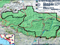
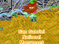
Map: San Gabriel Mtns Nat Monument 2014
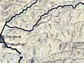
SCV Area Map 2014
FAQ: San Gabriel Mtns Nat Monument 2014
Video: Monument Signing Ceremony 2014
New Signage 2/18/2015
The Stories of Monarch and Pinto
Mining & Ranching in Soledad Canyon & Antelope Valley (Earle 2003)
Black Cat Mine
1967: Forest Turns 75
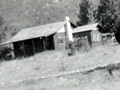
(Newhall Ranger Station 1923)
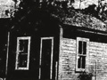
Newhall Ranger Station 1950s
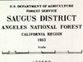
District Map 1953
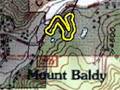
Cultural Resources: Verizon Facility, Mt. Baldy
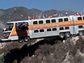
Film: The Big Bus 1976
|

The site owner makes no assertions as to ownership of any original copyrights to digitized images. However, these images are intended for Personal or Research use only. Any other kind of use, including but not limited to commercial or scholarly publication in any medium or format, public exhibition, or use online or in a web site, may be subject to additional restrictions including but not limited to the copyrights held by parties other than the site owner. USERS ARE SOLELY RESPONSIBLE for determining the existence of such rights and for obtaining any permissions and/or paying associated fees necessary for the proposed use.
