|
|

Aerial Photo Series (Detail)
Newhall, California
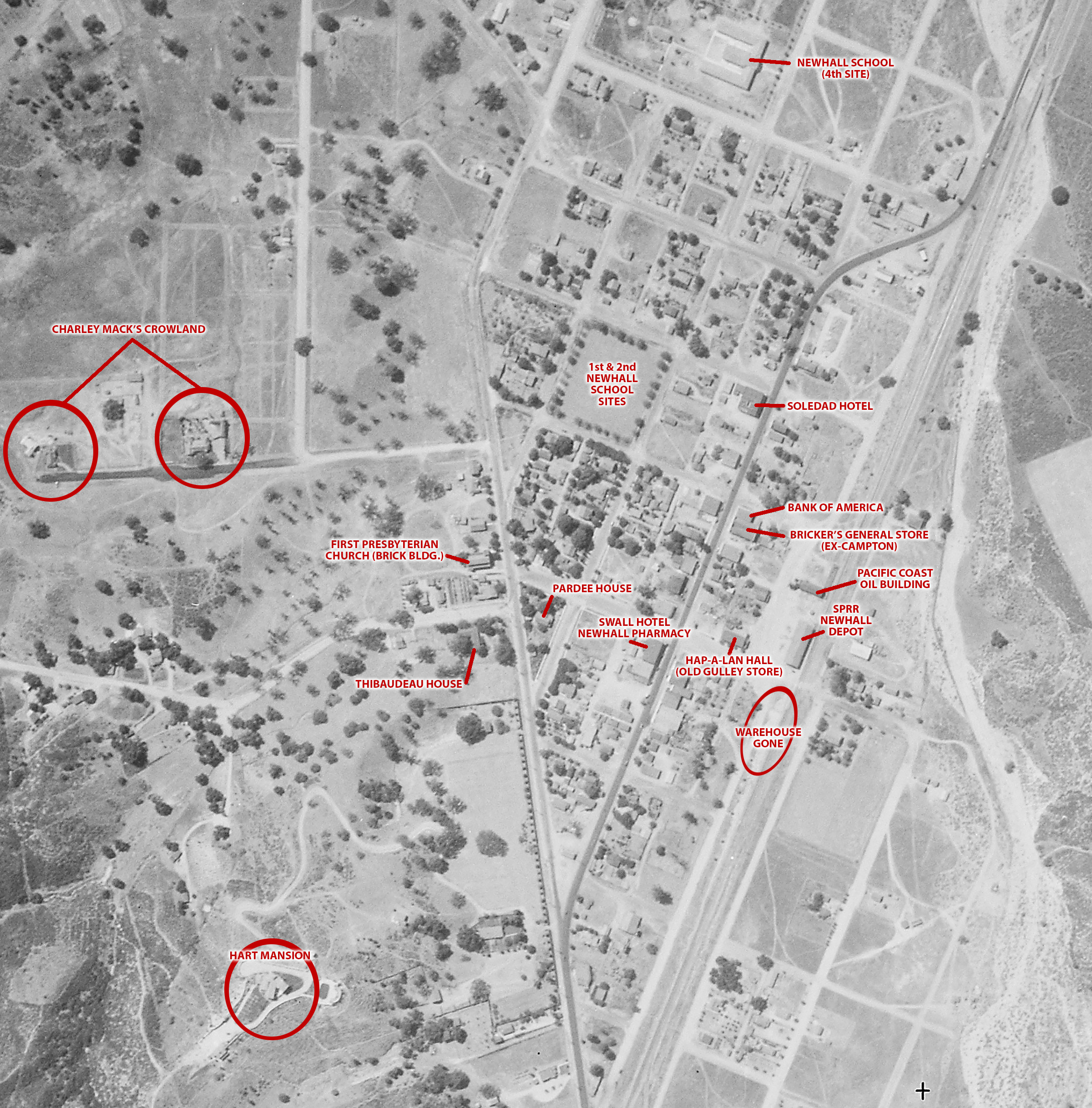
Click image to enlarge
| Download full original image, unlabeled
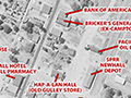
Downtown Newhall: Detail from photo series by Fairchild Aerial Surveys for Standard Oil Co., July 18 to August 25, 1930. Northwest is at top. Labeled in 2018.
LW3329: 9600 dpi jpeg. Online only. Layered image on file.
|
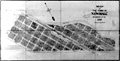
1889 Plat
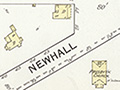
1892 Sanborn Map
SPRR Right of Way, Property Transactions 1876-1992
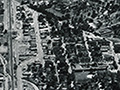
Aerial 1930, Labeled
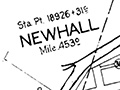
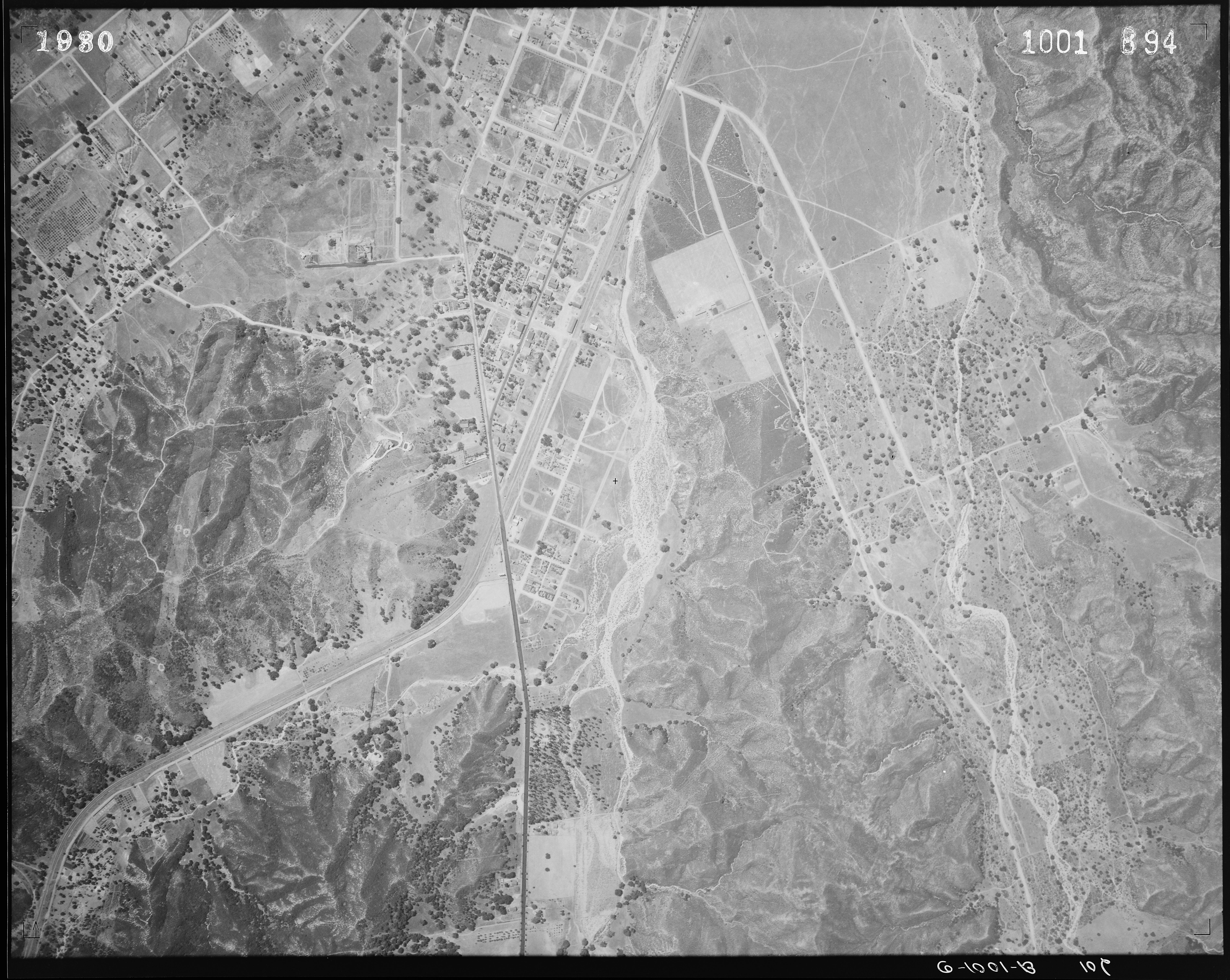
Newhall 10/31/1964
|
[ RETURN TO TOP ]
[ RETURN TO MAIN INDEX ]
[ PHOTO CREDITS ]
[ BIBLIOGRAPHY ]
[ BOOKS FOR SALE ]
SCVHistory.com is another service of SCVTV, a 501c3 Nonprofit • Site contents ©SCVTV
The site owner makes no assertions as to ownership of any original copyrights to digitized images. However, these images are intended for Personal or Research use only. Any other kind of use, including but not limited to commercial or scholarly publication in any medium or format, public exhibition, or use online or in a web site, may be subject to additional restrictions including but not limited to the copyrights held by parties other than the site owner. USERS ARE SOLELY RESPONSIBLE for determining the existence of such rights and for obtaining any permissions and/or paying associated fees necessary for the proposed use.
The site owner makes no assertions as to ownership of any original copyrights to digitized images. However, these images are intended for Personal or Research use only. Any other kind of use, including but not limited to commercial or scholarly publication in any medium or format, public exhibition, or use online or in a web site, may be subject to additional restrictions including but not limited to the copyrights held by parties other than the site owner. USERS ARE SOLELY RESPONSIBLE for determining the existence of such rights and for obtaining any permissions and/or paying associated fees necessary for the proposed use.
