|
|
State Route 14, Palmdale
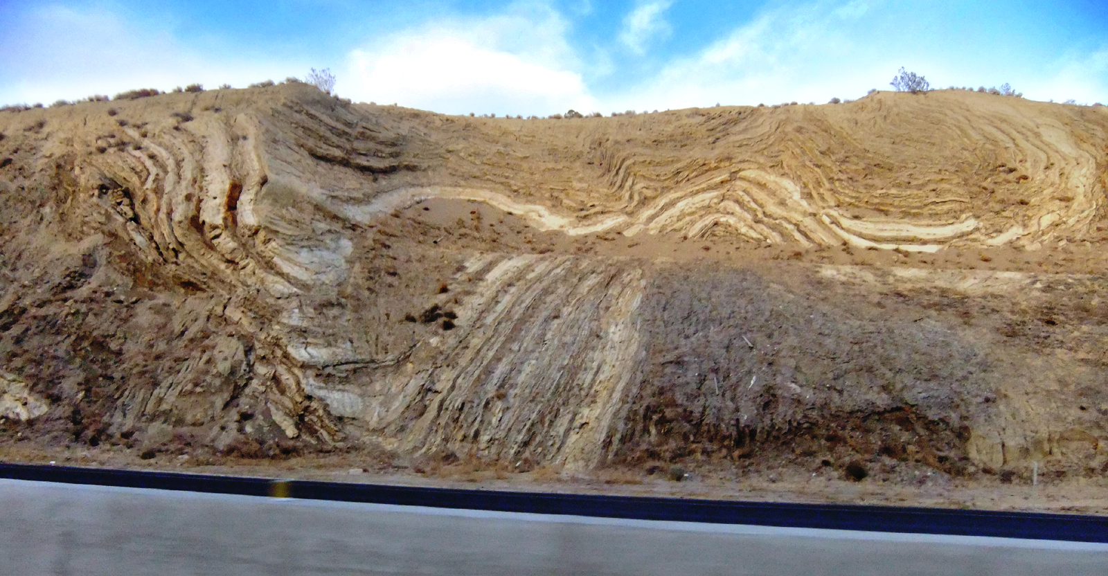
Click image to enlarge April 13, 2013 — San Andreas Fault, visible in mountain cut away for northbound State Route 14 (east side of freeway) just north of Avenue S in Palmdale. LW2360: 9600 dpi jpeg from digital image. |
Video: Field Guide to the San Andreas Fault
1857 Fort Tejon Quake
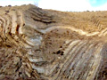
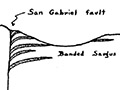
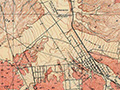
Fault in Palmdale
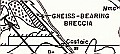
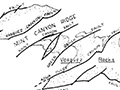
Geology of Canyon Country (Dort 1948)
Strike-Slip Displacement (Crowell 1954)
Winterer & Durham 1962
Castaic Geology (Stitt 1981)
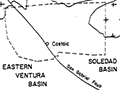
Soledad Basin (Muehlberger 1954)
|

[ RETURN TO TOP ]
[ RETURN TO MAIN INDEX ]
[ PHOTO CREDITS ]
[ BIBLIOGRAPHY ]
[ BOOKS FOR SALE ]
SCVHistory.com is another service of SCVTV, a 501c3 Nonprofit • Site contents ©SCVTV
The site owner makes no assertions as to ownership of any original copyrights to digitized images. However, these images are intended for Personal or Research use only. Any other kind of use, including but not limited to commercial or scholarly publication in any medium or format, public exhibition, or use online or in a web site, may be subject to additional restrictions including but not limited to the copyrights held by parties other than the site owner. USERS ARE SOLELY RESPONSIBLE for determining the existence of such rights and for obtaining any permissions and/or paying associated fees necessary for the proposed use.
The site owner makes no assertions as to ownership of any original copyrights to digitized images. However, these images are intended for Personal or Research use only. Any other kind of use, including but not limited to commercial or scholarly publication in any medium or format, public exhibition, or use online or in a web site, may be subject to additional restrictions including but not limited to the copyrights held by parties other than the site owner. USERS ARE SOLELY RESPONSIBLE for determining the existence of such rights and for obtaining any permissions and/or paying associated fees necessary for the proposed use.
