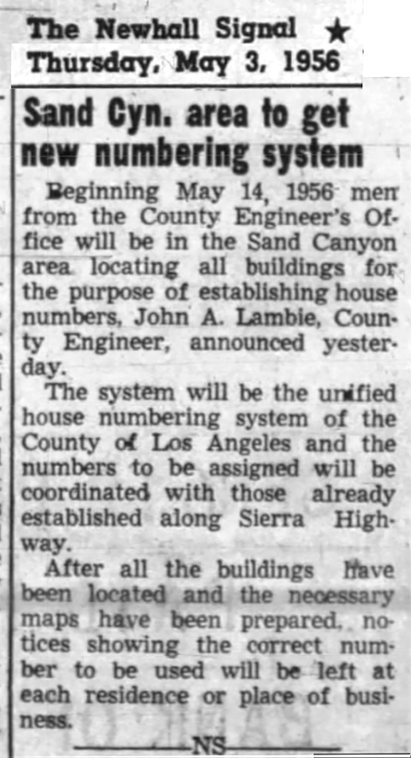
|
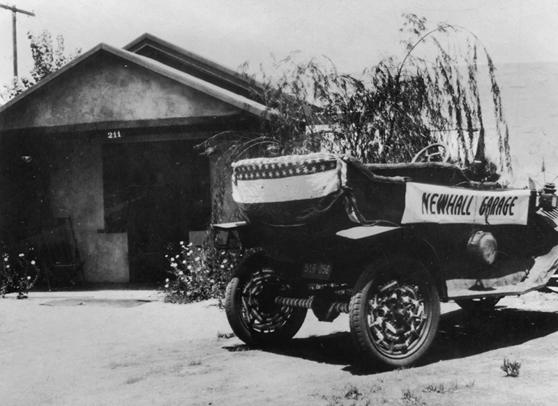
Going by the lot numbers on the Newhall plat, an address of 211 tells us Fred Lamkin lived on the north side of W. 9th Street, around back of his original auto garage at 907 N. Spruce Street. The address, 211 W. 9th, was in the second block west of Railroad Avenue; 907 N. Spruce was in the ninth block north of the Pine/Railroad intersection. Both addresses
were in the block bounded by 9th, 10th, Spruce and Walnut streets. Click for full image.
|
In the beginning, Newhall had its own house numbering system of 3- and 4-digit addresses. A plat map (similar to a tract map) in the 1880s shows the town laid out in a lot-and-block survey scheme with street numbers radiating out from the intersection of 1st and Main streets, just like Los Angeles and most other towns and cities. In Newhall, 1st Street was named Pine Street on the west and Park Street on the east, and Main Street was named Railroad Avenue. (The intersection is now called Pine and Newhall Avenue. We will refer to it as Pine and Railroad here.)
The addresses made sense. You knew where to find things. The last two digits were (and still are) the lot number, aka house number; the rest of the address was (and is) the block number.
You knew 104 W. 6th Street (The Newhall Signal) was within the first block west of Railroad Avenue, six blocks north of the Pine/Railroad intersection. (There was no "zero block.") The address 725 N. Spruce Street would take you to Newhall Hardware, in the seventh block north of Pine and Railroad. You sent your kids to school at 1113 N. Walnut Street in the 11th block north of Pine and Railroad. You didn't want to go to 1026 N. Spruce Street in the tenth block north of Pine and Railroad; that was the old Newhall Jail. (Tenth Street was renamed Lyons Avenue.)
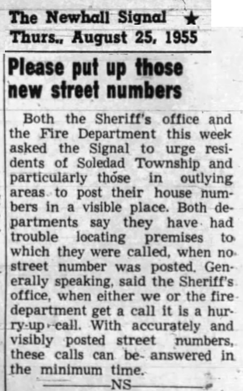
Many Newhall businesses displayed their addresses, but many didn't. Few residents did. About the only time "house numbers" made news locally in the 1930s and '40s was when the fire department or post office complained they couldn't find their destinations because the house numbers didn't exist or had faded into oblivion.
"Downtown Saugus" didn't have its own numbering system because it didn't need one. Everybody knew where to find the Saugus depot, cafe, hotel and garage. In the 1910s and '20s, a letter addressed to "John Smith, Saugus Hotel, Saugus Cal." would arrive just fine. Residences in the vast expanse of Saugus, which were really farms, used Rural Routes, e.g., "John Smith, Rt. 1, Saugus Cal." (No "Valencia" or "Canyon Country" back then.)
By the 1940s, Saugus businesses had physical addresses, although they still weren't used colloquially. When Fielding Wood's Saugus Garage changed hands in 1945, a legal notice identified the location as 19947 San Fernando Road (The Newhall Signal, December 6, 1945).
In the mid-1930s, when the county formally changed the name of Mint Canyon Highway to Sierra Highway in the area that is now Canyon Country, it imposed 5-digit street numbers there. Locals were slow to adopt the new highway name, but 5-digit addresses began to appear in legal notices and real-estate listings in the canyon.
The "unified house numbering system" in Los Angeles County traces its roots to 1920 when the Board of Supervisors instructed the County Engineer to establish numbers for an unincorporated area east of Pasadena. Then in 1925 and 1927, the Board of Supervisors adopted a pair of ordinances authorizing the County Engineer to establish house numbers for all unincorporated areas, and it required people to display them.
The County Engineer notified businesses and residents by letter. Most of the letters went straight into the trash.
The county tried again with a new ordinance in 1933 that allowed cities and towns with their own numbering systems (such as Newhall) to keep them, as long as a wide swath of farms or citrus groves separated them from the next community with a numbering system.
By the end of World War II, this allowance was becoming unmanageable. Maybe not right away in Newhall, but in other parts of the county, communities were starting to smash into one another as crops and farmland gave way to housing tracts to accommodate the "Iowa farm boys" who had shipped out of San Diego to fight the Japanese and now, upon their return, relocated their growing families to sunny Southern California.
So, in 1945, the Board of Supervisors imposed a system of house numbers for all unincorporated areas (including the SCV), radiating out from First and Main streets in downtown Los Angeles. For incorporated cities, the decision to adopt the county's system was left to city councils, and most did. As for the timing of the rollout for specific unincorporated areas, it was left to the Board of Supervisors.
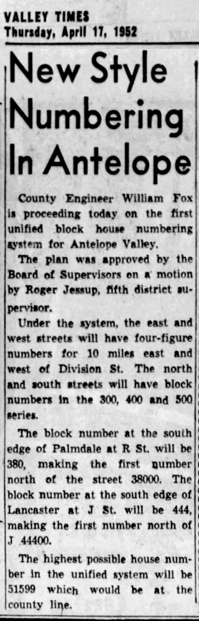
The Santa Clarita Valley was one of the last unincorporated territories to make the change. The county switched over the Antelope Valley in 1952. As noted, portions of San Fernando Road and Sierra Highway outside of Newhall had 5-digit addresses since the 1930s, but they usually weren't displayed.
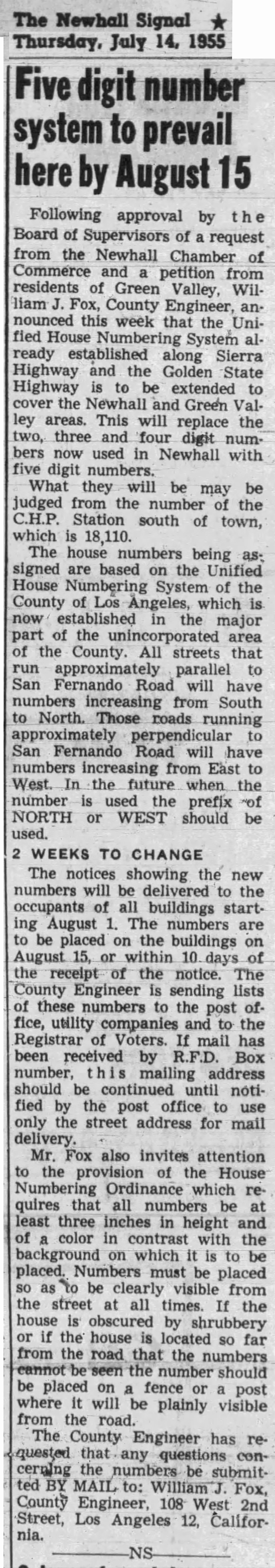
Now, the county's numbering system would be imposed for real. The change came to Newhall and Saugus "proper" in the summer of 1955 at the request of the Newhall Chamber of Commerce and a motion by County Supervisor Roger Jessup.
Technically the new street numbers also made sense, but you'd need a pretty big slide rule to measure from First and Main in downtown L.A. (It's the reason all house numbers in the SCV get higher as you travel north or west.) The Newhall Signal advised measuring "from the number of the CHP Station south of town, which is 18110."
The impending change was announced in the weekly newspaper July 14, 1955, but it still caught locals off-guard when the change arrived "overnight" a month later.
In that sense, it was a bit like the expansion of Valencia west of Interstate 5 in the 21st Century. The Signal warned readers of the planned development for more than 20 years, but when ground finally broke in the late 2010s, many locals expressed their surprise and horror — in letters to The Signal and on "social media" platforms that didn't even exist when the newspaper started reporting on it.
"When the powers that be down in Ellay [L.A.] first served notice on the village that it was going to have its village street numbers cancelled and be given some new, big city numbers, nobody paid attention," Signal owner Fred Trueblood Sr. editorialized (August 11, 1955). "The news was broken in the Signal issue of July 14. Nary a yip was raised about it."
"Not until cards began to come [in the mail] did realization spread that Newhall was due to lose another chunk of its quaint and charming village atmosphere," he lamented. "[Now] it seems that villagers are belatedly building up a slow burn on the subject. There are even rumors of petitions. Now, with the deal all set up, we are starting to raise a holler we should have started a month ago."
For the aging Signal editor, the renumbering must have added insult to injury. Just a year earlier, the county had replaced the familiar "Spruce Street" signs in the business district with "San Fernando Road."
But not everyone was upset. Trueblood made it a generational issue, complaining that young whippersnappers like Tommy Frew the blacksmith and Loren Clymore the Chevy dealer were all too quick to swap out their short numbers for the longer ones.
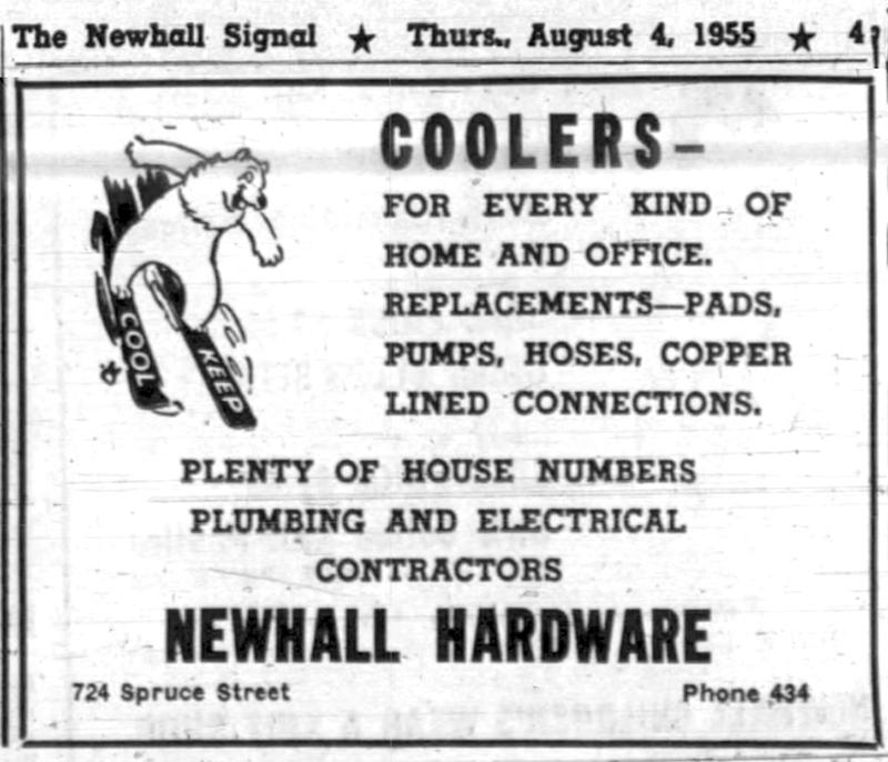
"The Signal printers love the new numbers, too, and all of the establishments who sell numbers," Trueblood wrote. Newhall Hardware advertised that it had "Plenty of House Numbers" in stock (The Newhall Signal, August 4, 1955).
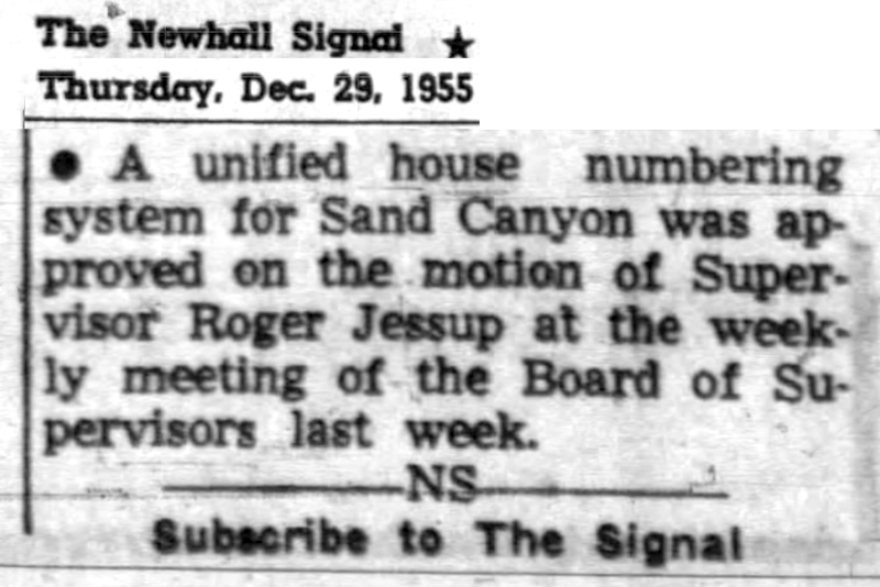
Sand Canyon was renumbered in 1956, and the changeover was complete in 1957 when the county imposed the unified house numbering system on the more rural areas of Saugus, Solemint (today's Canyon Country) and Agua Dulce. House numbers were never really thought of again — until 1990 when a whippersnapper from the newfangled Santa Clarita City Council hatched a plan to change them back. But that's a whole 'nother story.
|